Build workflows that scale
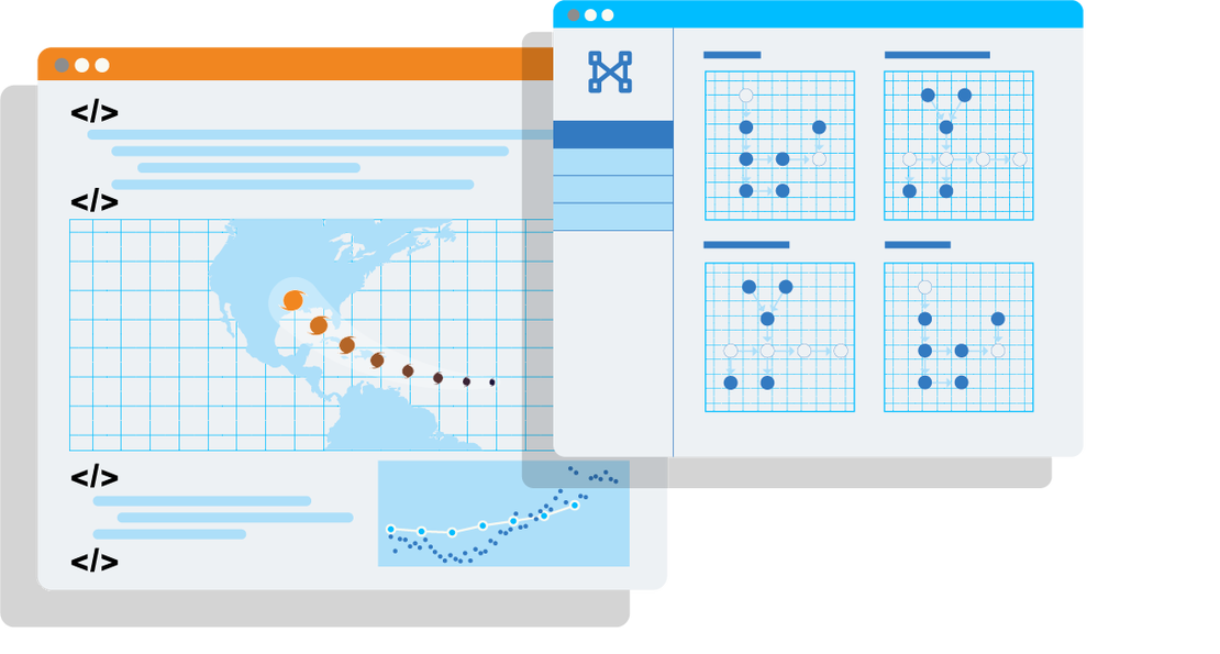
An open-source, in-browser tool for simplifying data processing
workflows with high-performance server support, featuring code history
and workflow orchestration.
An open-source, in-browser tool for simplifying data processing workflows with high-performance server support, featuring code history and workflow orchestration.
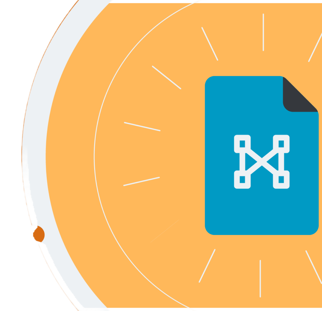

Go From Zero To Production 🏁
Experience the power of Geoweaver, your all-in-one solution for simplifying complex scientific workflows. Whether you're a seasoned researcher or a novice, our user-friendly, web-based platform allows you to effortlessly manage data processing tasks, saving you time and preserving your workflow history. Unlock the potential of online spatial data facilities, high-performance computation platforms, and open-source libraries with Geoweaver. Get started today and go from zero to production with ease.
Learn more about deploying with Geoweaver
Why choose Geoweaver?


Projects
that already use Geoweaver
The SWE Workflow leverages Geoweaver, to help manage the complex python & shell scripts which are used to collect training data from various sources like GridMET, SRTM 90m, Modis and AMSR which is used to train the model to predict SWE in the western US.
Utilizing ground observations from the EPA and AirNow network, alongside remote sensing data, to calibrate CMAQ model for ozone prediction.
Free, Opensource &
Works where you WORK
Download the APP


Supported By
We thank our sponsors for supporting the development and maintenance of Geoweaver.